
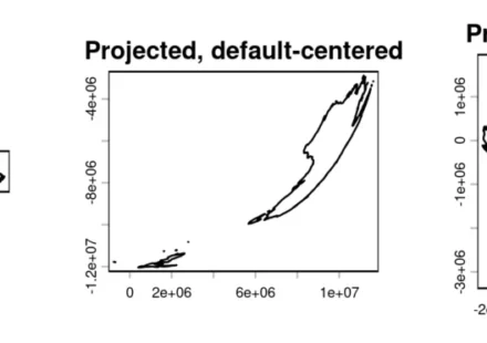
Automatically Center a Projection on the Plotted Map

Comments Off on Automatically Center a Projection on the Plotted Map
A significant advancement in geospatial data visualization has emerged with the development of a new function designed to automatically center map projections on the specific region of interest. This innovative tool, developed by the team at modTools and…
